")
")
Works within the integrated winter hydrophysical expedition 2026 completed
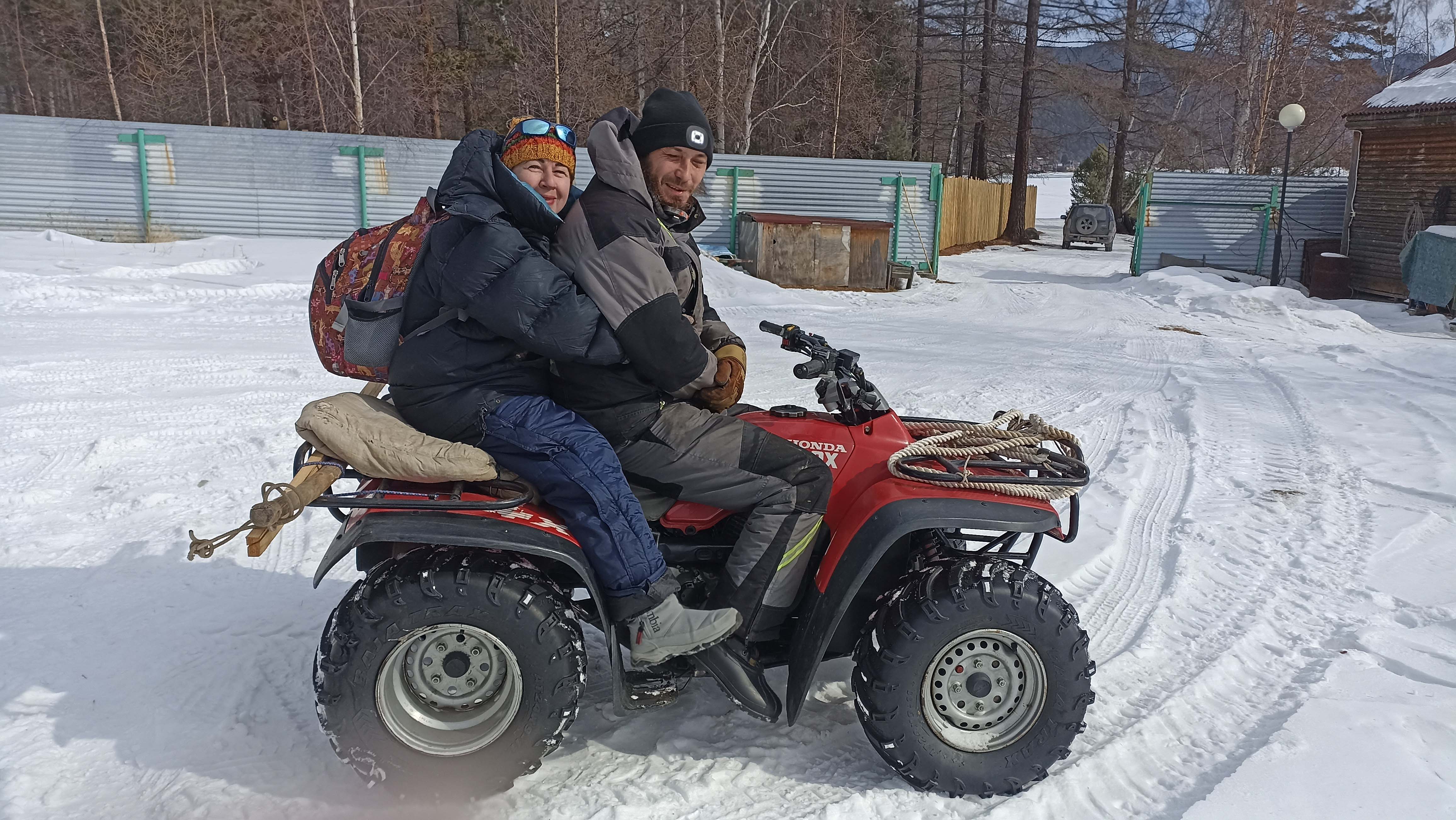
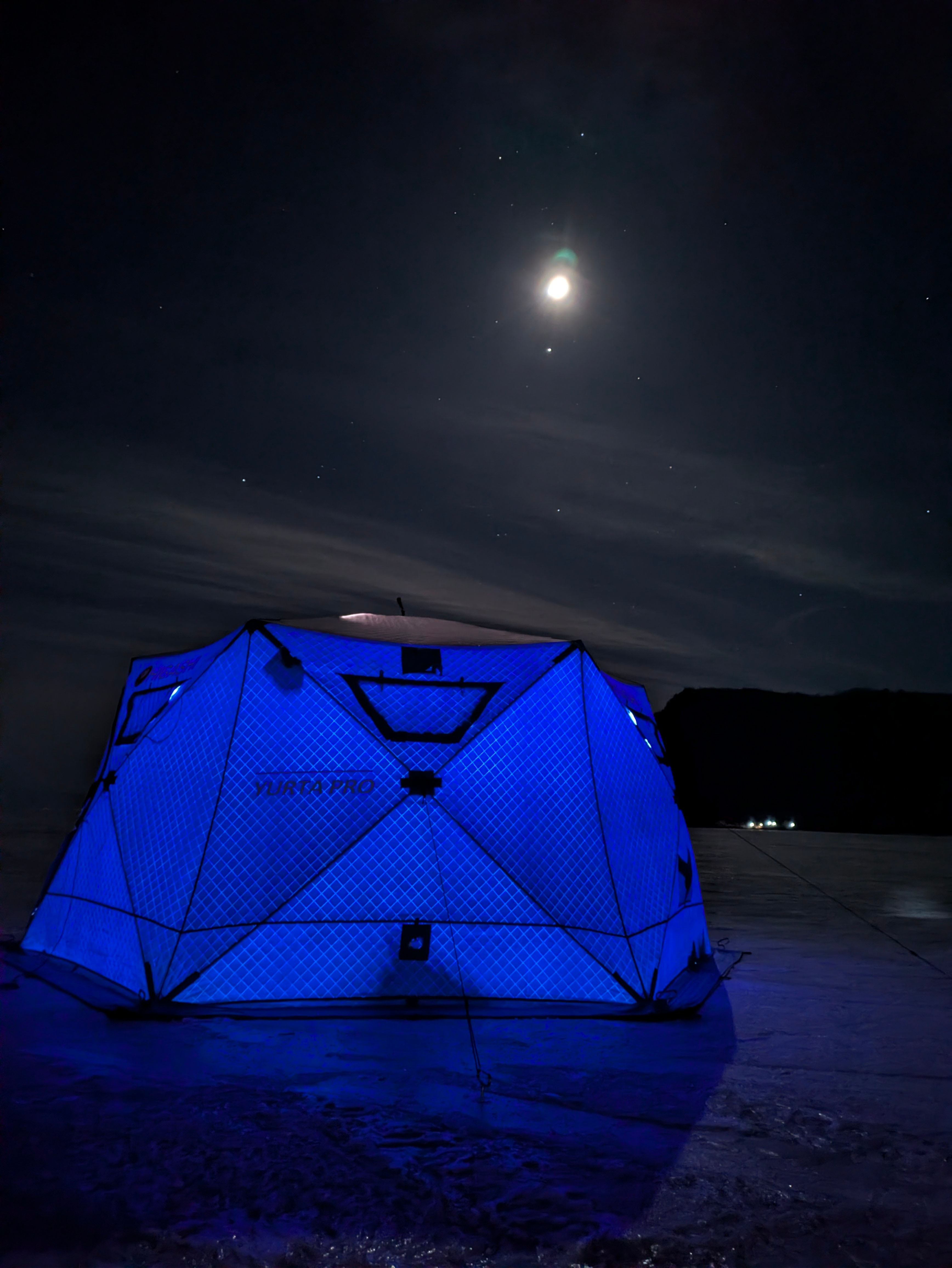
The staff of the Laboratory of Hydrology and Hydrophysics of LIN SB RAS completed a large-scale winter field research program on Lake Baikal. Field work started just two days after the continuous ice cover was formed, January 23, 2026 (read more about the opening of the season at link). By early March, hydrologists had started the primary phase of observations following the installation of measuring complexes and a number of preparation steps.
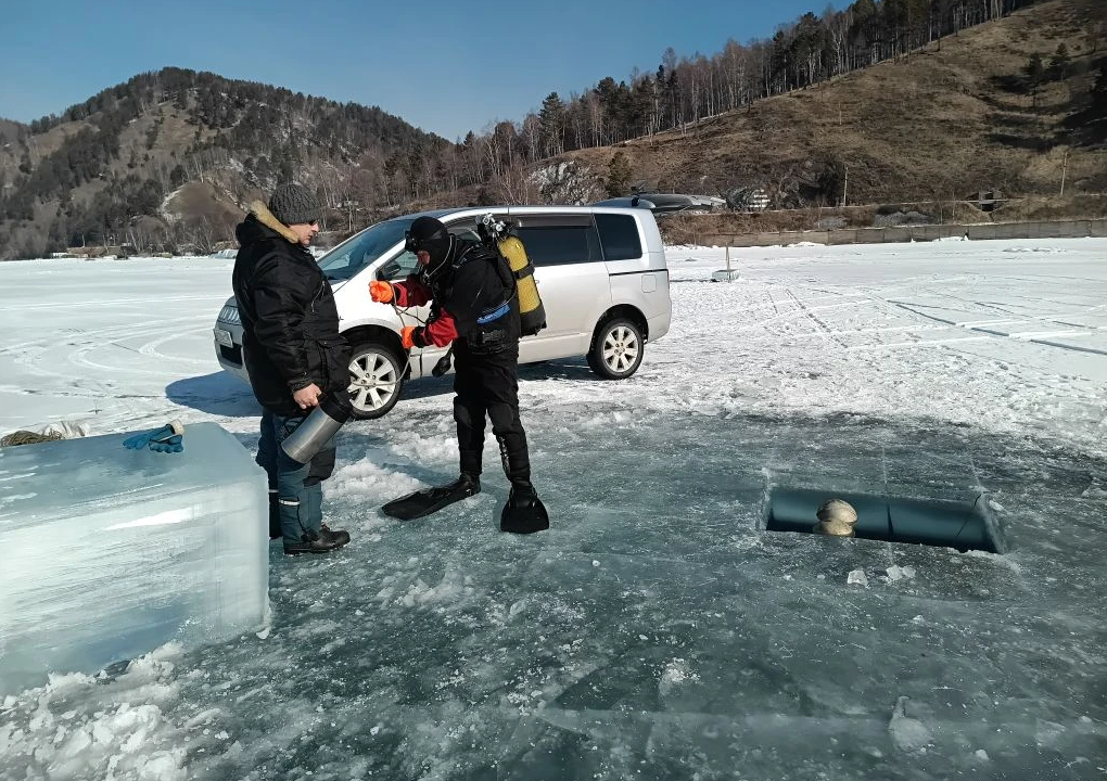
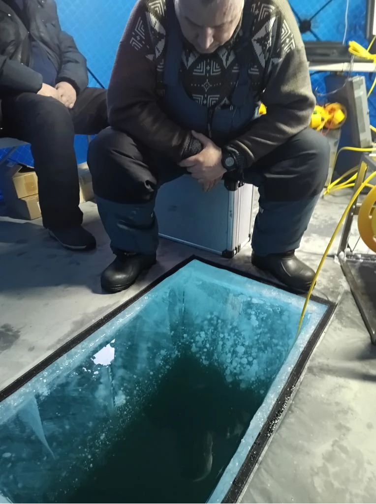
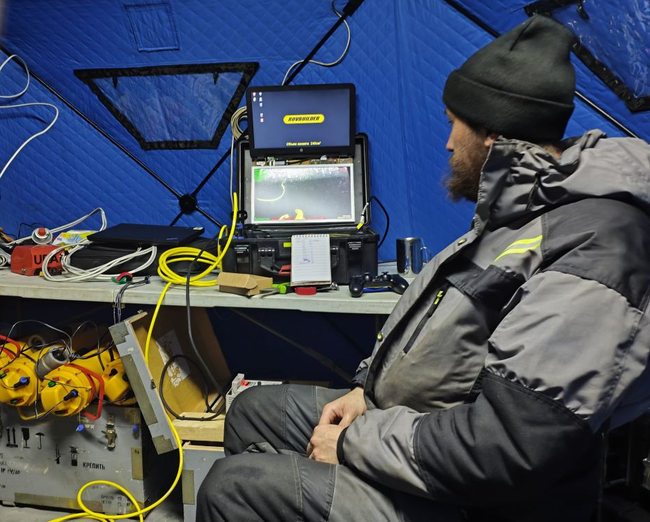
The first tour was in the area of Posolskaya Banka. The object of study was an interesting geological formation - pockmark (funnel-shaped deepening at the bottom) with a diameter of over 100 meters and a depth of 10 meters. The formation of such a structure, found in 2009, is presumably associated with the active discharge of gas in sedimentary strata. To trace the dynamics of this process, the object is regularly monitored. Within the present expedition using ROVBUILDER remote-controlled underwater vehicle, a detailed video survey of the bottom relief was carried out, bathymetric and temperature surveys were carried out over the whole area of the pockmark. Gas samples were collected to analyze its isotopic composition. To assess the impact of bubble discharge on vertical mixing of the water column, an autonomous buoy station was installed within the center of the pockmark, and CTD probing was frequently performed.
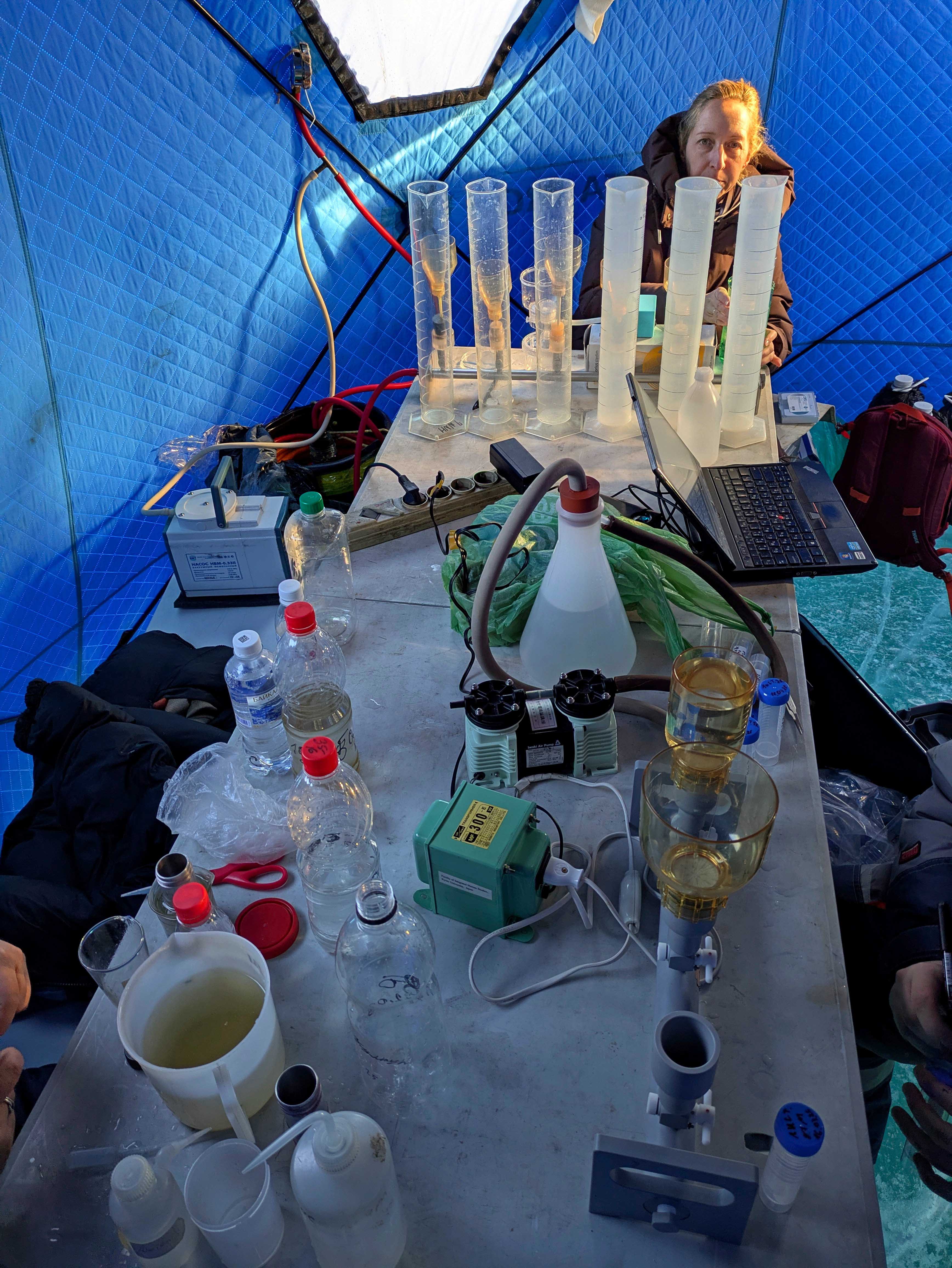
Later, on March 14-28, the main comprehensive expedition took place in the water area of South Baikal, it was carried out in collaboration with colleagues from the Laboratory of Photosynthesis and Biooptics of the Sea of Institute of Biology of the Southern Seas (Sevastopol). The studies covered three cross-sections across the lakes: Kadilny - Mishikha, Listvyanka - Tankhoi and Maritui - Solzan, as well as a station 12 km from Kultuk settlement. At each section, five observation stations were organized: three and seven kilometers from the coastline and in the central part. Work at the stations required five to eight hours and was finished in a total for 14 days.
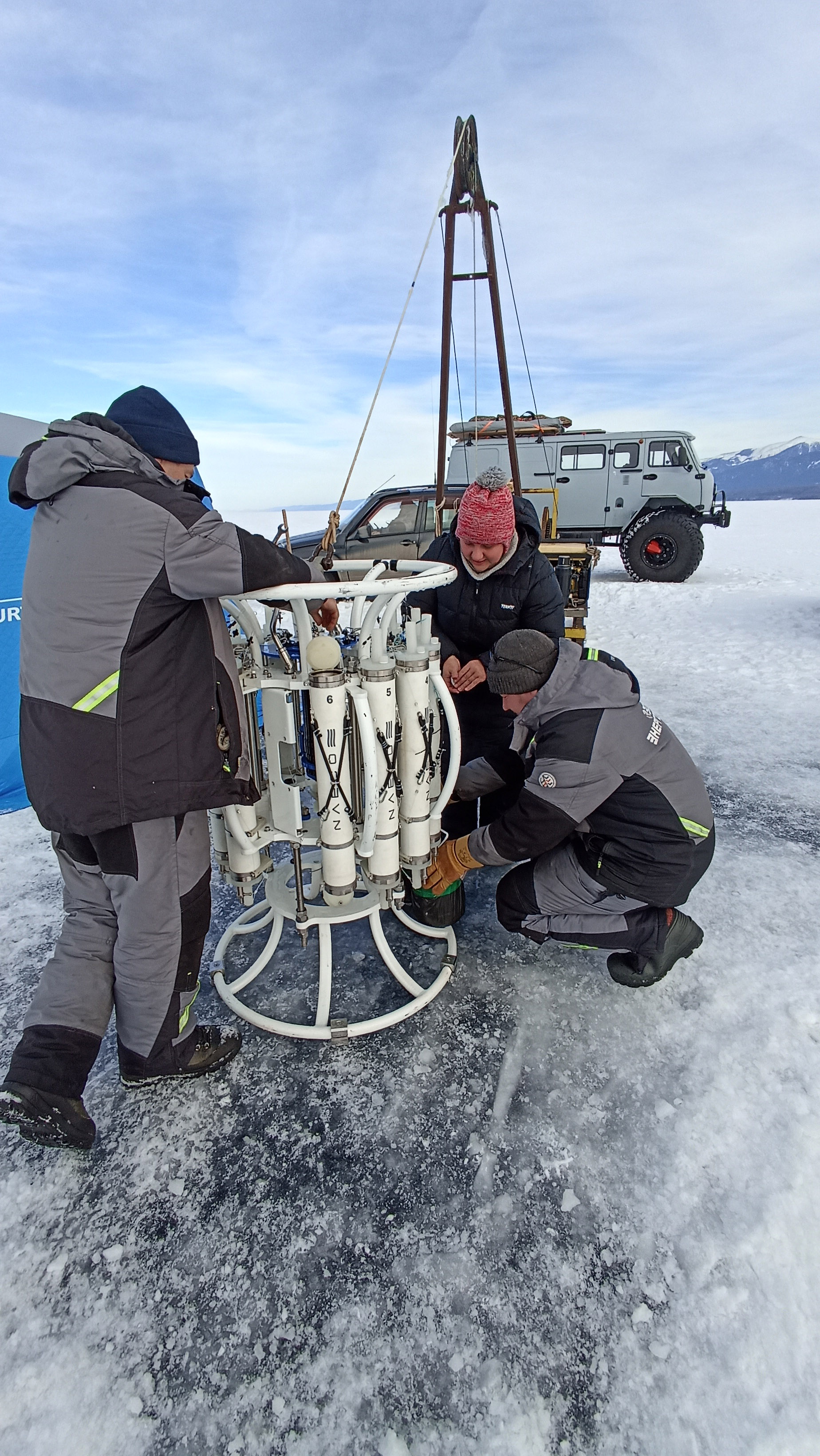
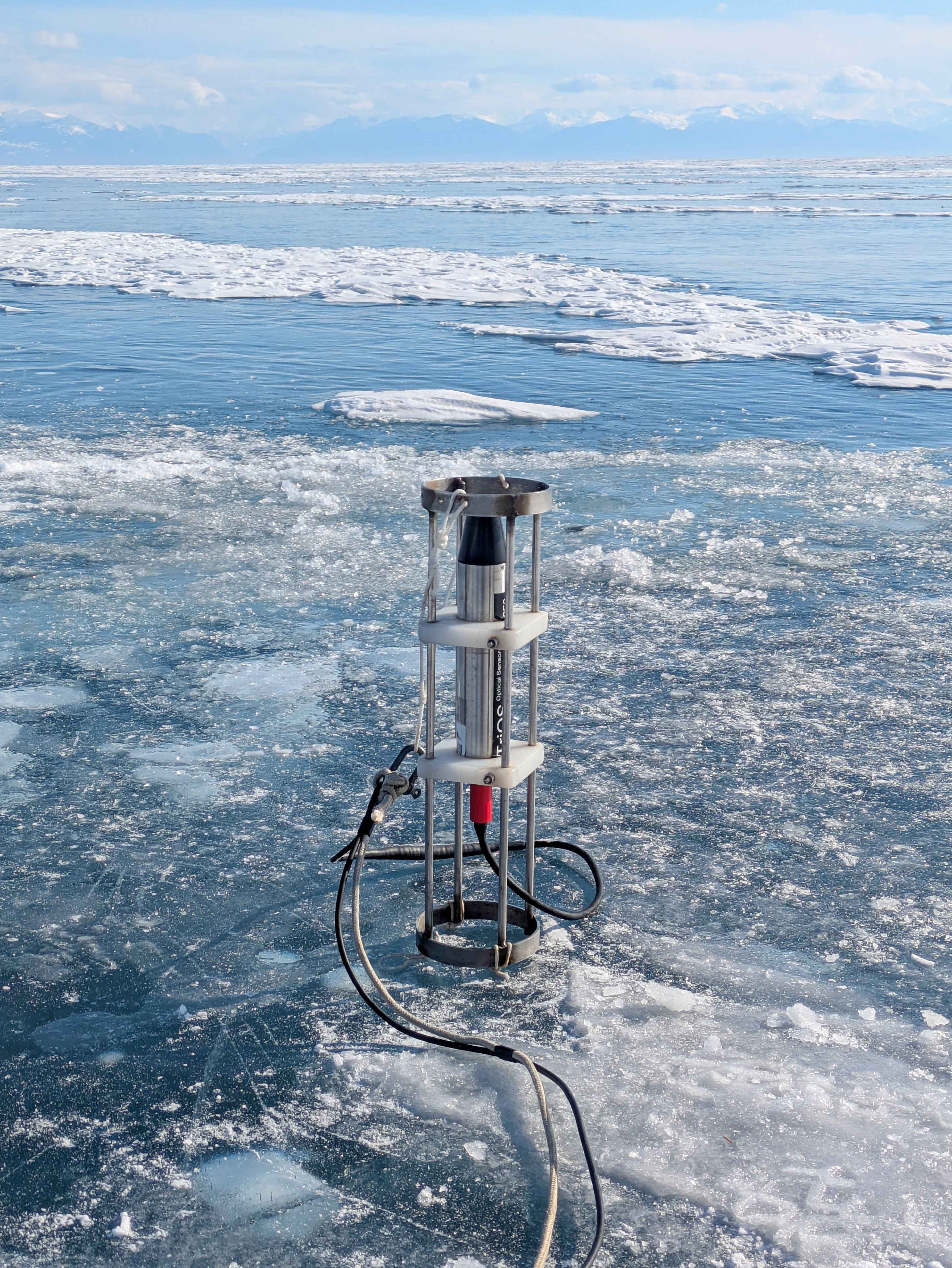
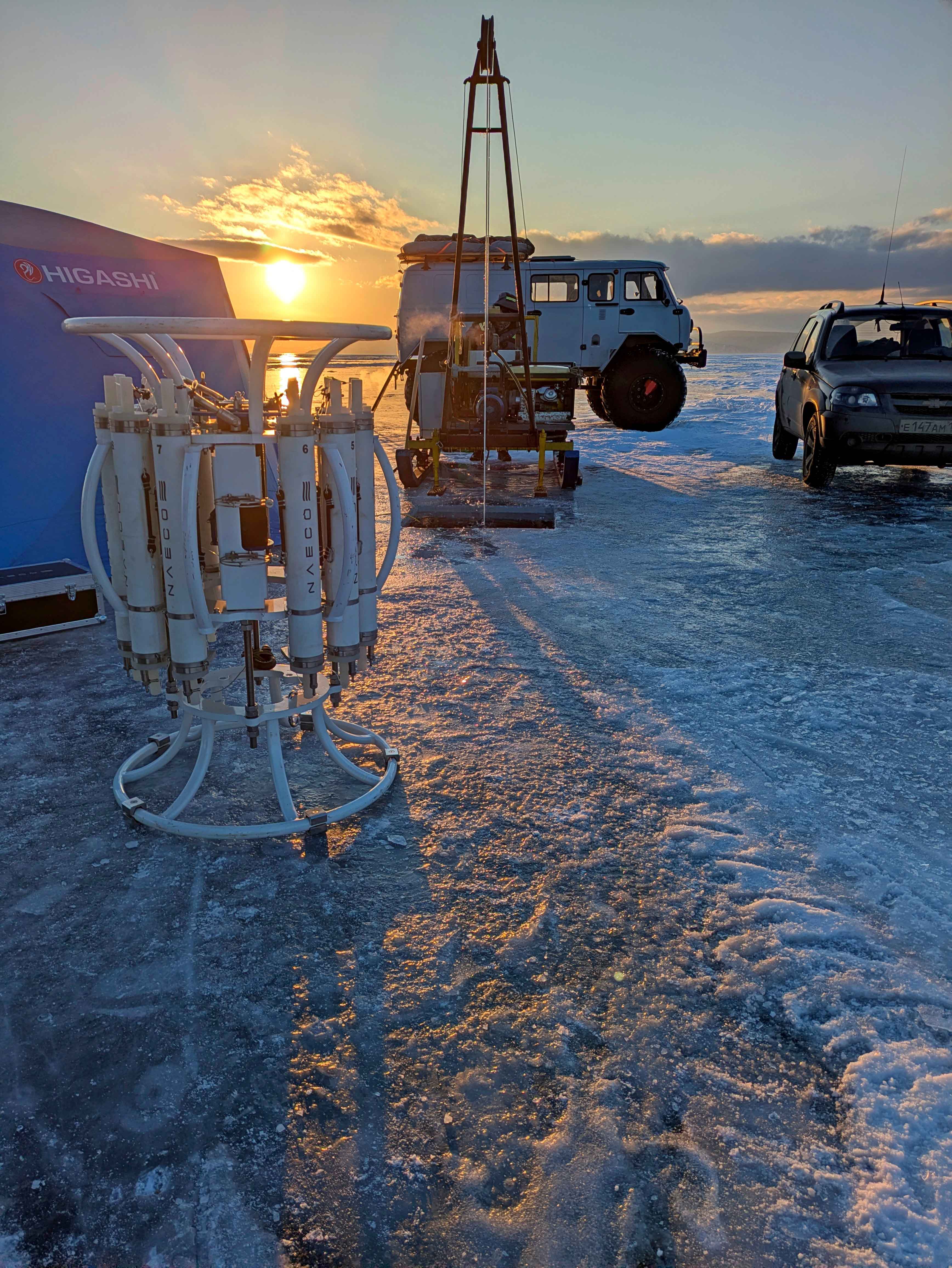
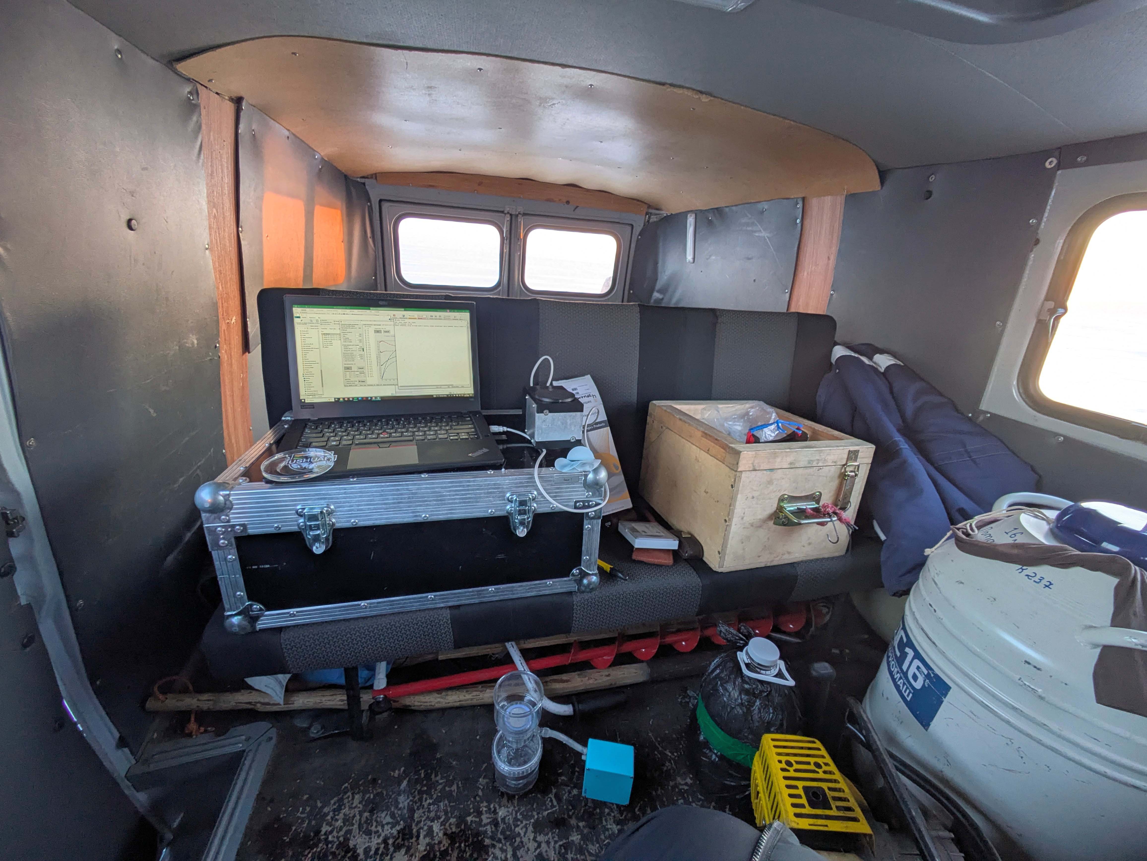
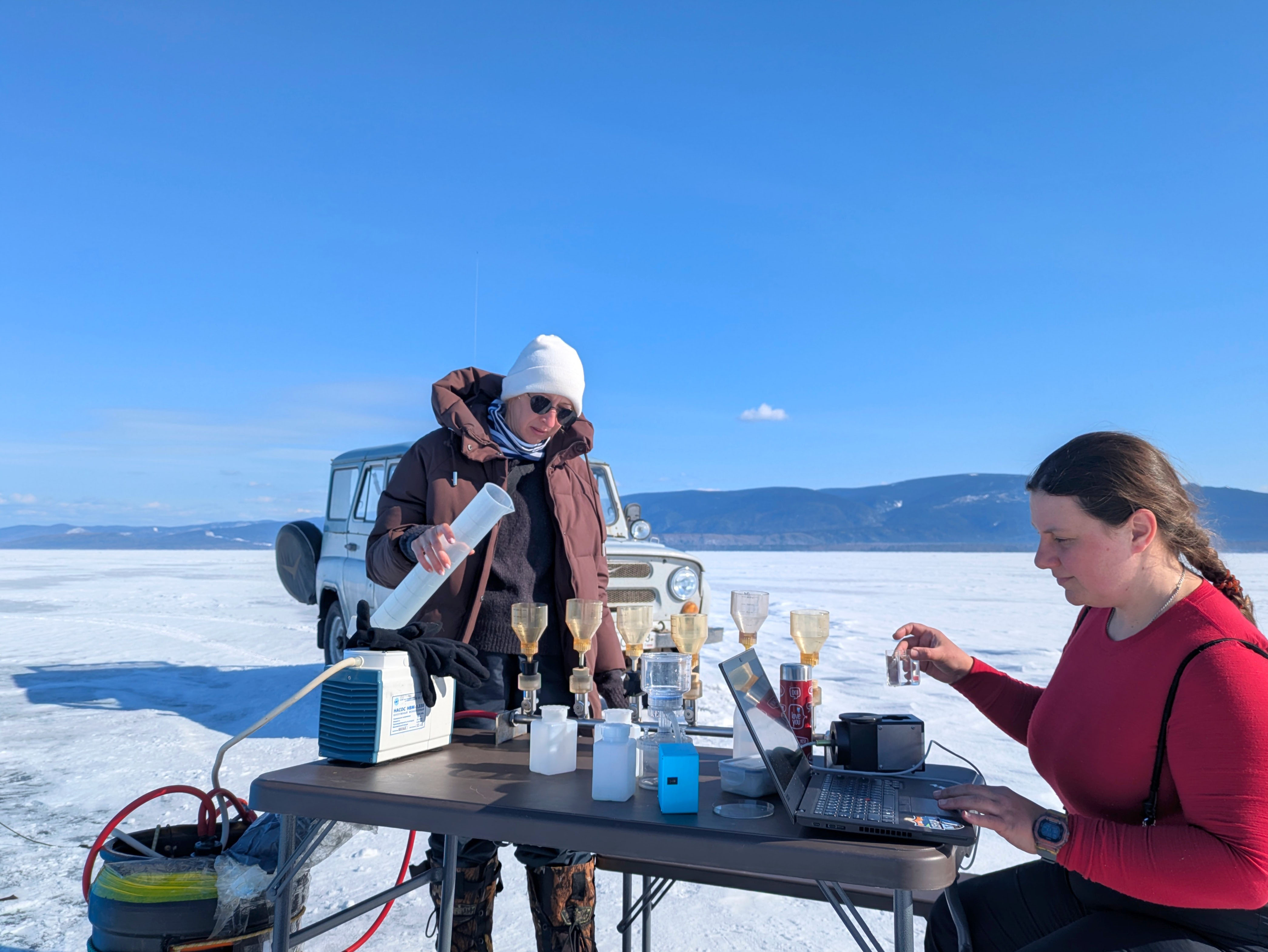
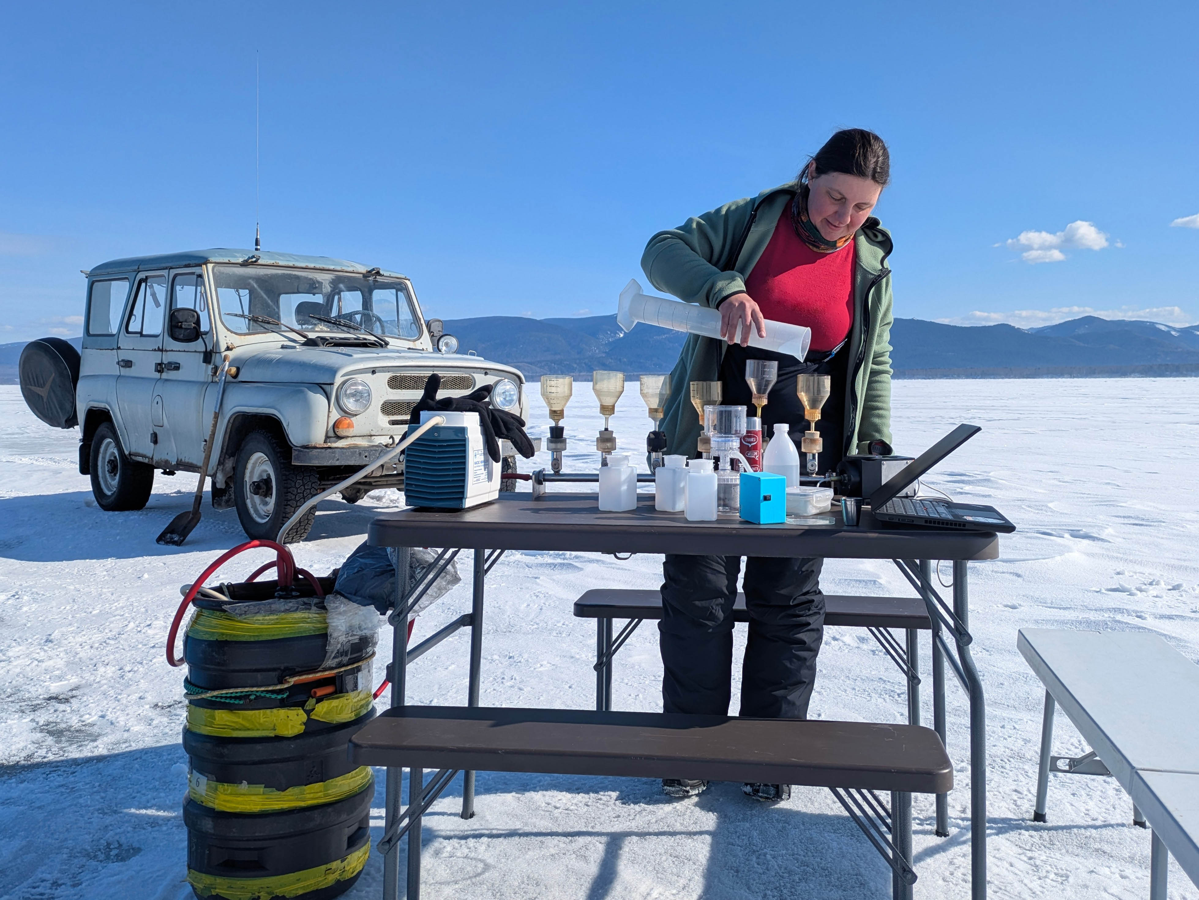
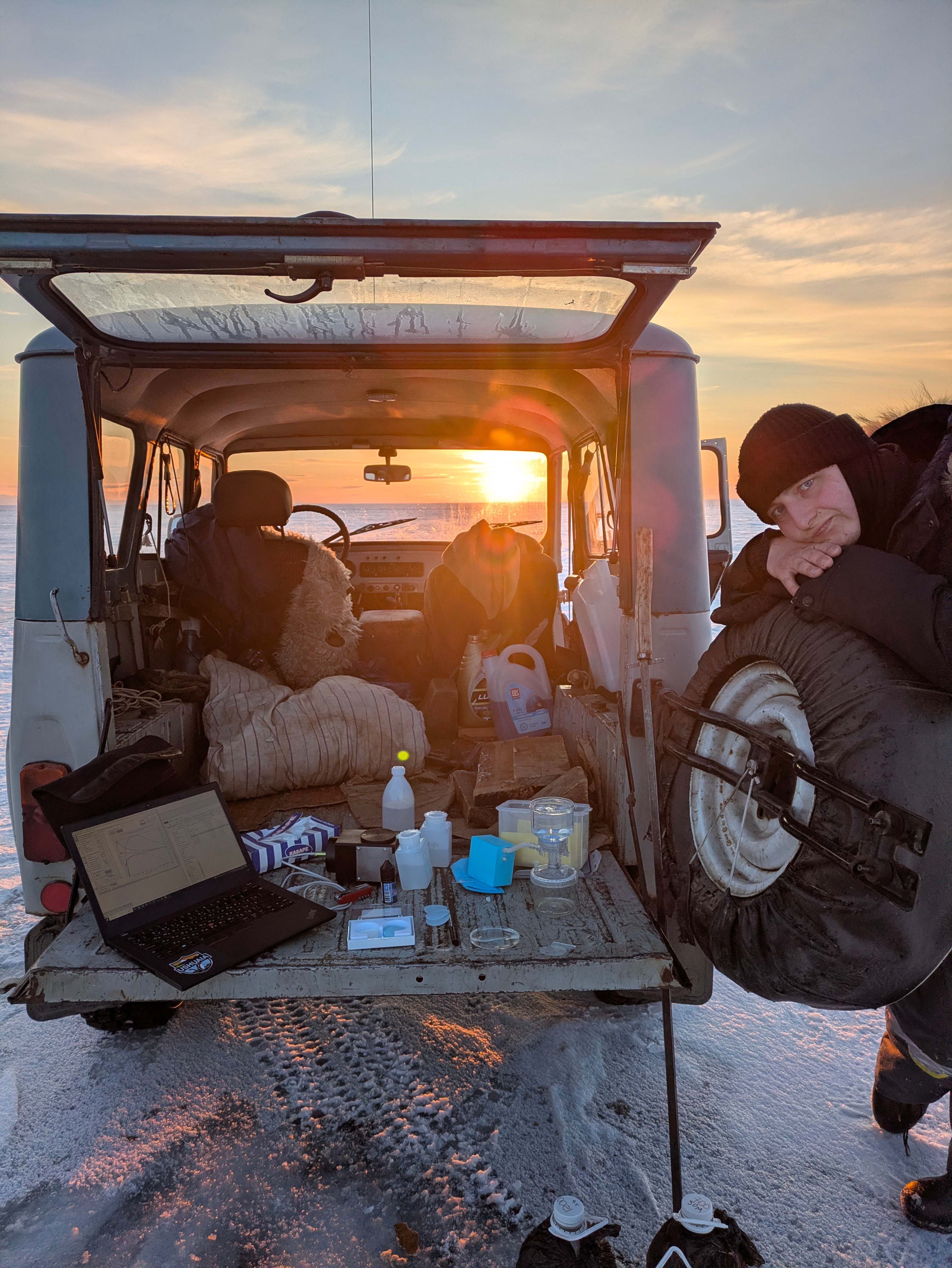
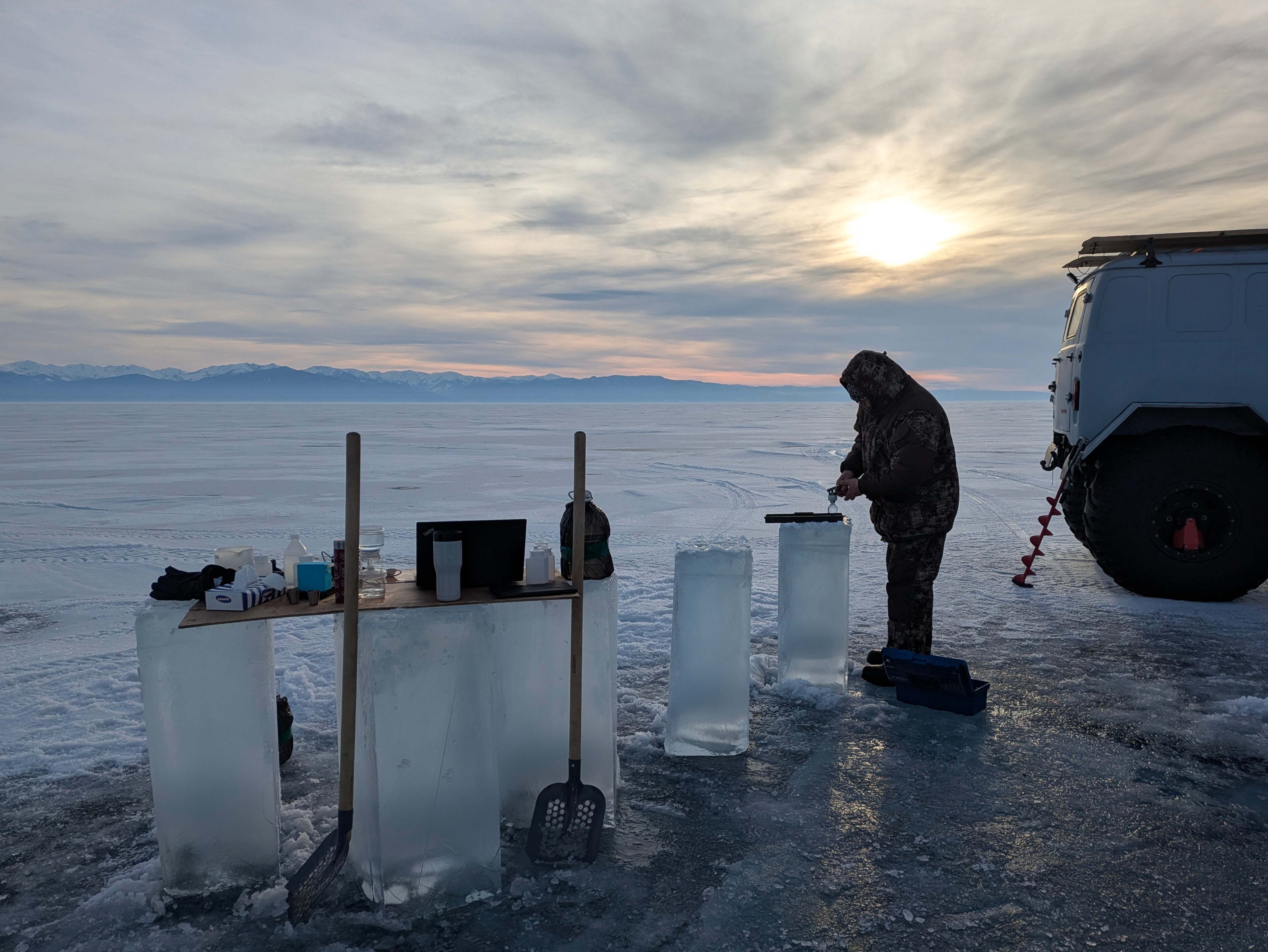
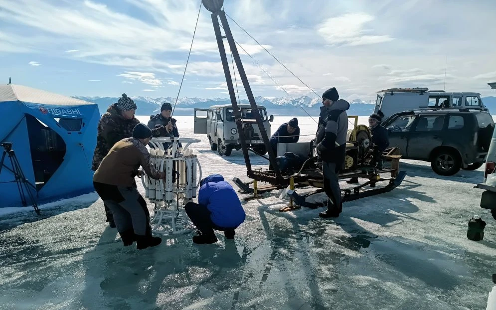
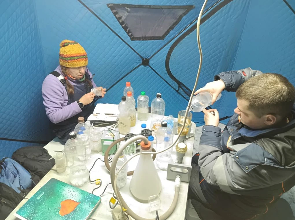
The measurement program was interdisciplinary: vertical profiles of temperature, mineralization, turbidity and dissolved oxygen content were measured, the speed and direction of under-ice currents in the upper ten-meter layer were studied using an acoustic Doppler profilograph. Particular attention was paid to optics: the spectral composition and intensity of solar radiation in the photic layer were measured to depths of 40-60 meters, as well as the parameters of photosynthetic activity of microalgae. An extensive sampling program involved taking water from the surface to the bottom using a bathometric rosette to analyze biogenic elements (phosphates, nitrates, silicon) and dissolved methane. Samples in the upper layers of the lake were additionally analyzed for the content of dissolved organic matter, suspended matter and phytoplankton pigments. Additionally, samples were taken using a Juday and Apstein nets to assess the vertical distribution, taxonomic composition, abundance and biomass of phyto- and zooplankton. A total of 1,000 samples were collected. A significant part of them was primary processed directly in the field, and the analysis of biogenic elements and planktonic communities will be examined all year long.
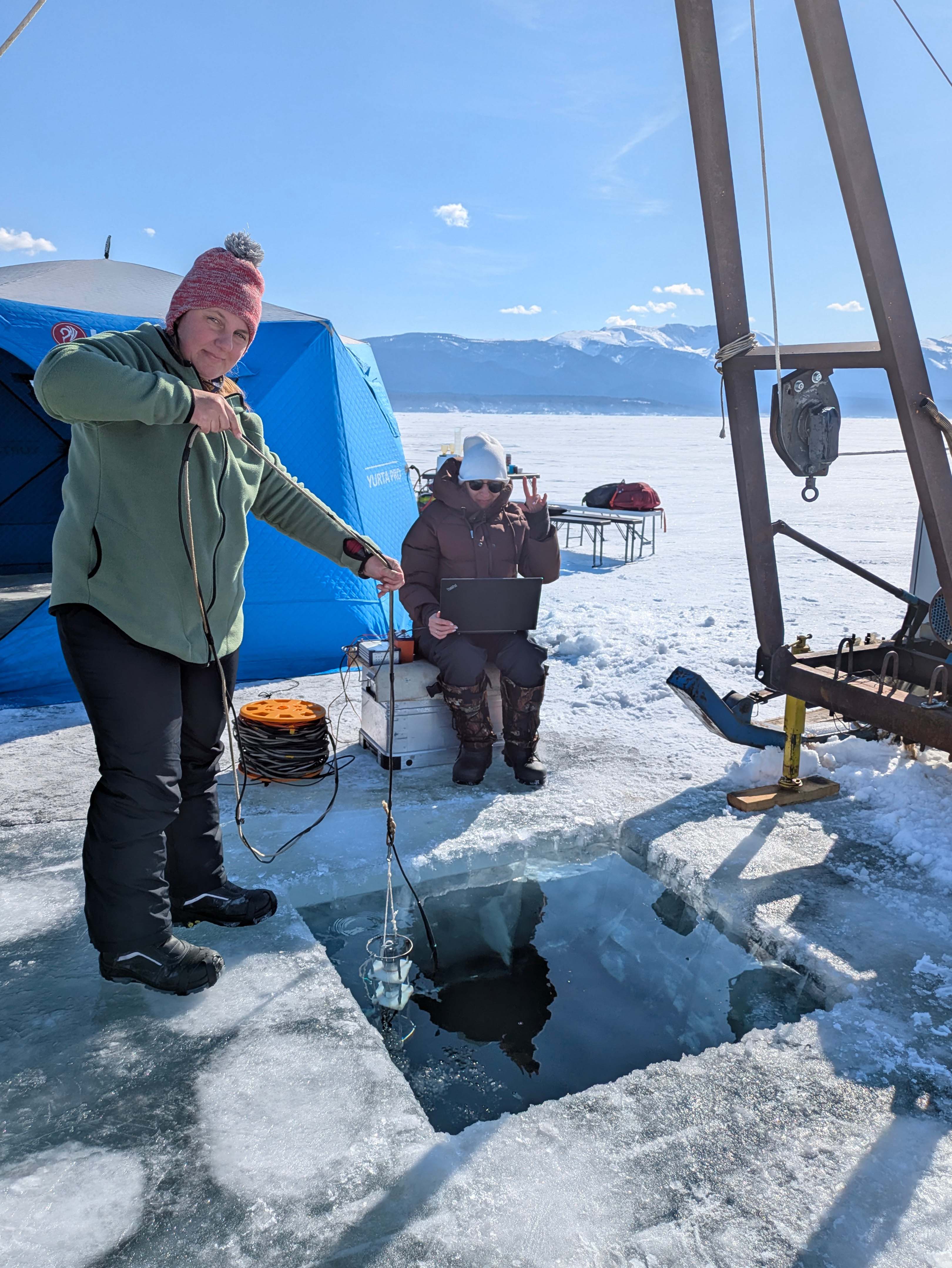
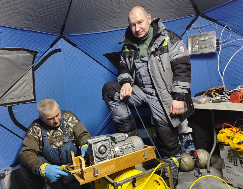
The experimental autonomous recorders with thermistor chains were raised from depths of 12 and 30 meters in the second part of March in the vicinity of the Baikal neutrino telescope (106th km of the Circum-Baikal Railway). The equipment is designed for long-term high-resolution measurement of the vertical distribution of hydrophysical characteristics in the section perpendicular to the shore. After reading the accumulated data and changing the batteries, the devices were reinstalled to continue measurements until autumn 2026. During the work in the telescope camp, extra equipment was also deployed to study under-ice convection caused by the volumetric absorption of solar radiation.
By the end of March, a deep-water buoy station was lifted, located in the middle of the Listvyanka-Tankhoy section. After maintenance of the devices, data reading and changing of batteries, the station was returned to its original point for continuous measurements during the next one-year cycle (2026-2027).
The final phase of the expedition was in April. The laboratory staff dismantled the ice-installed instrument systems, including an autonomous weather station in the central part of the Listvyanka-Tankhoy section, and placed the hydrophysical equipment in storage for the next field season.