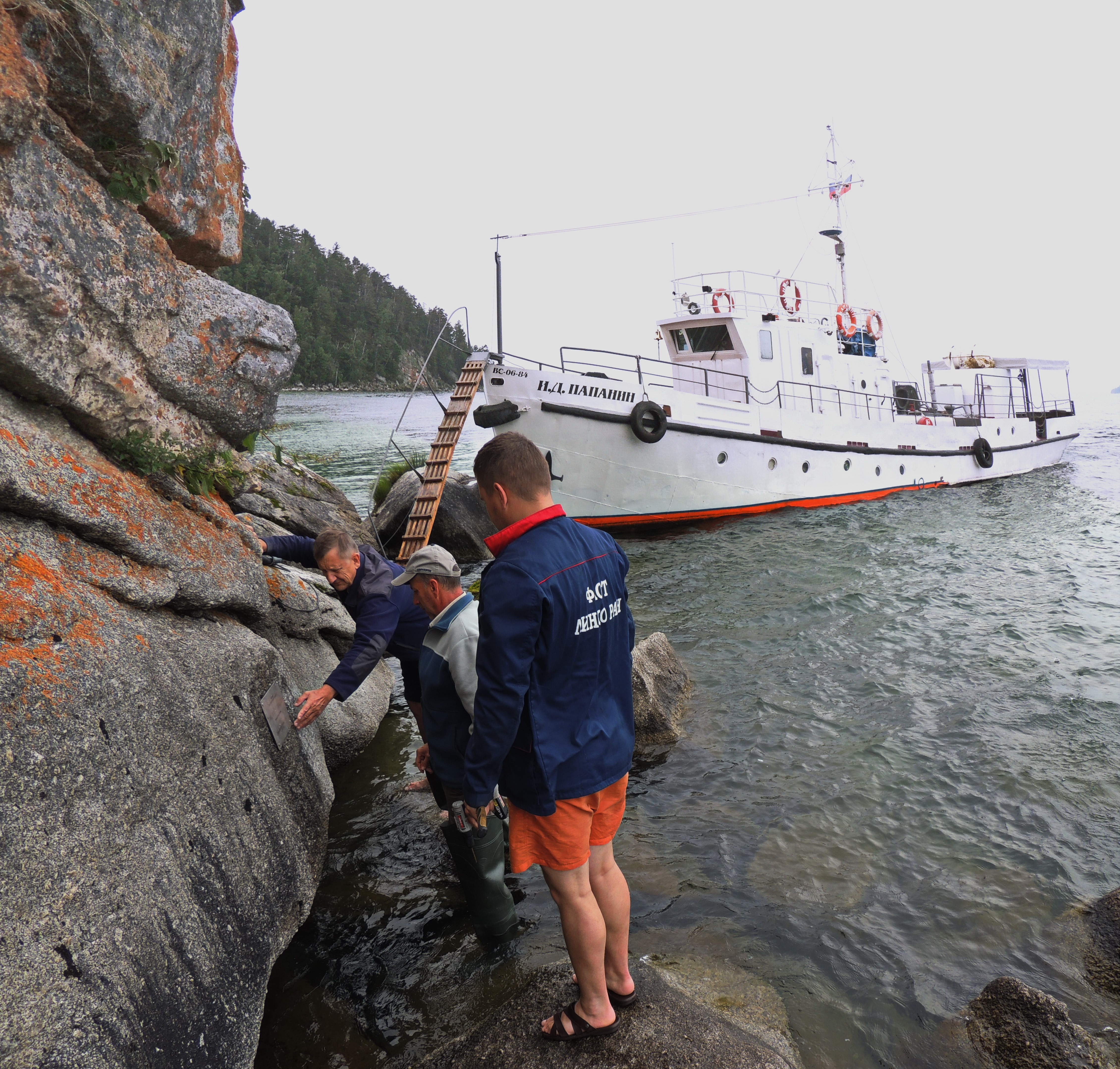
Expedition on board RV “I.D. Papanin”, July 30 – 05 August, 2018
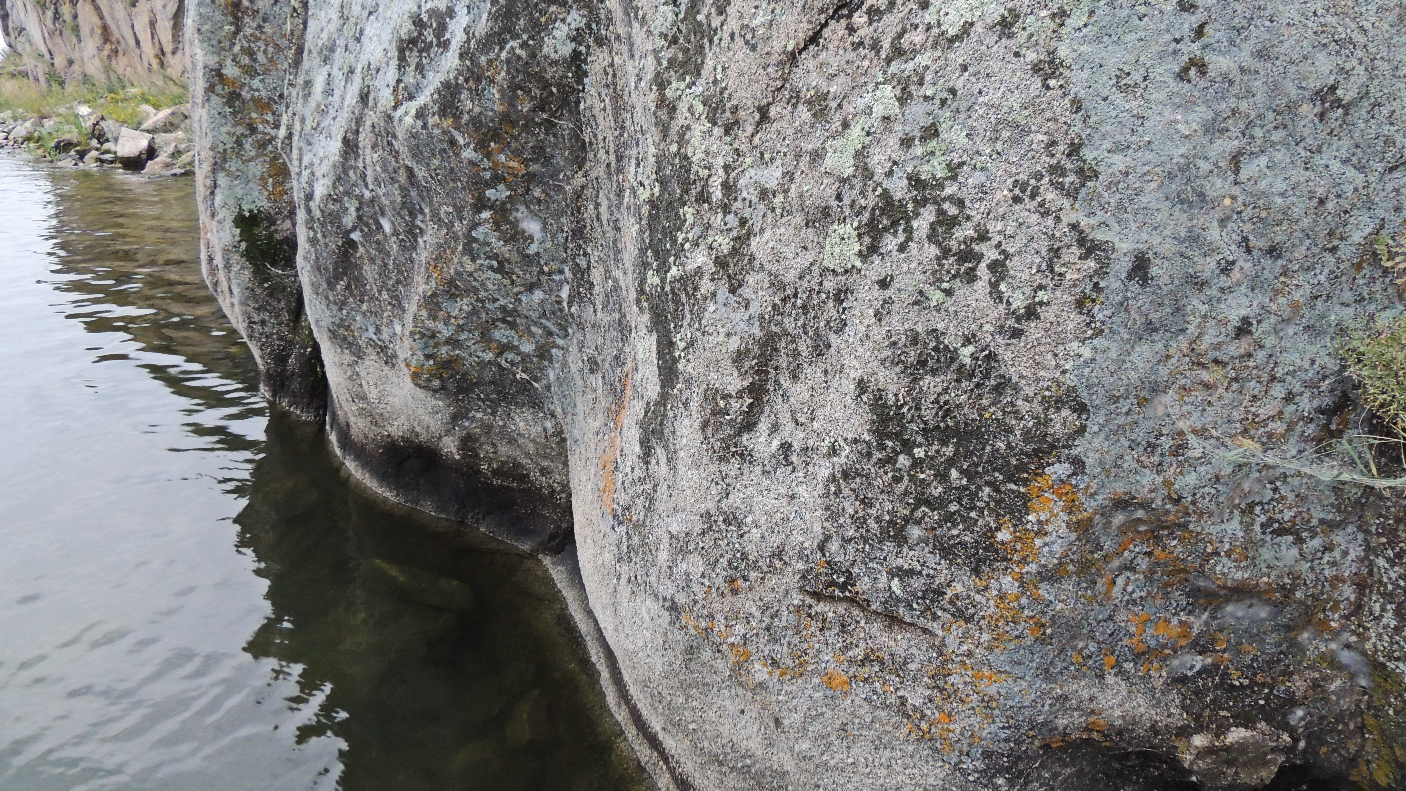
The expedition was aimed at the validation of the I.D. Chersky’s marks. There are many relics of the past on the shores of Lake Baikal. In particular, they are represented by marks of the famous explorer of the lake I.D. Chersky. By the assignment of the Eastern Siberian Department of the Russian Geographical Society for the 1877-1880 geological survey of the Baikal shoreline, he left marks on the coastal rocky ledges, which should have allowed the future explorers to check the water level in the lake (Chersky, 1886).
During the work of I.D. Chersky at Baikal, he made 16 marks located around the lake. The marks were made using the bit on the steep coastal ledges of the rocks in the form of horizontal lines. The marks also contained the year, when they were made. They were many times applied for studying of the level regime of the lake and the vertical movements of its shores (Lamakin, 1959; Ladokhin, 1959; Afanasiev, 1975, etc.). Since I.D. Chersky could only relate the height of the marks to the lake level, a series of repeated levelling were performed. To date, 10 marks have been preserved.
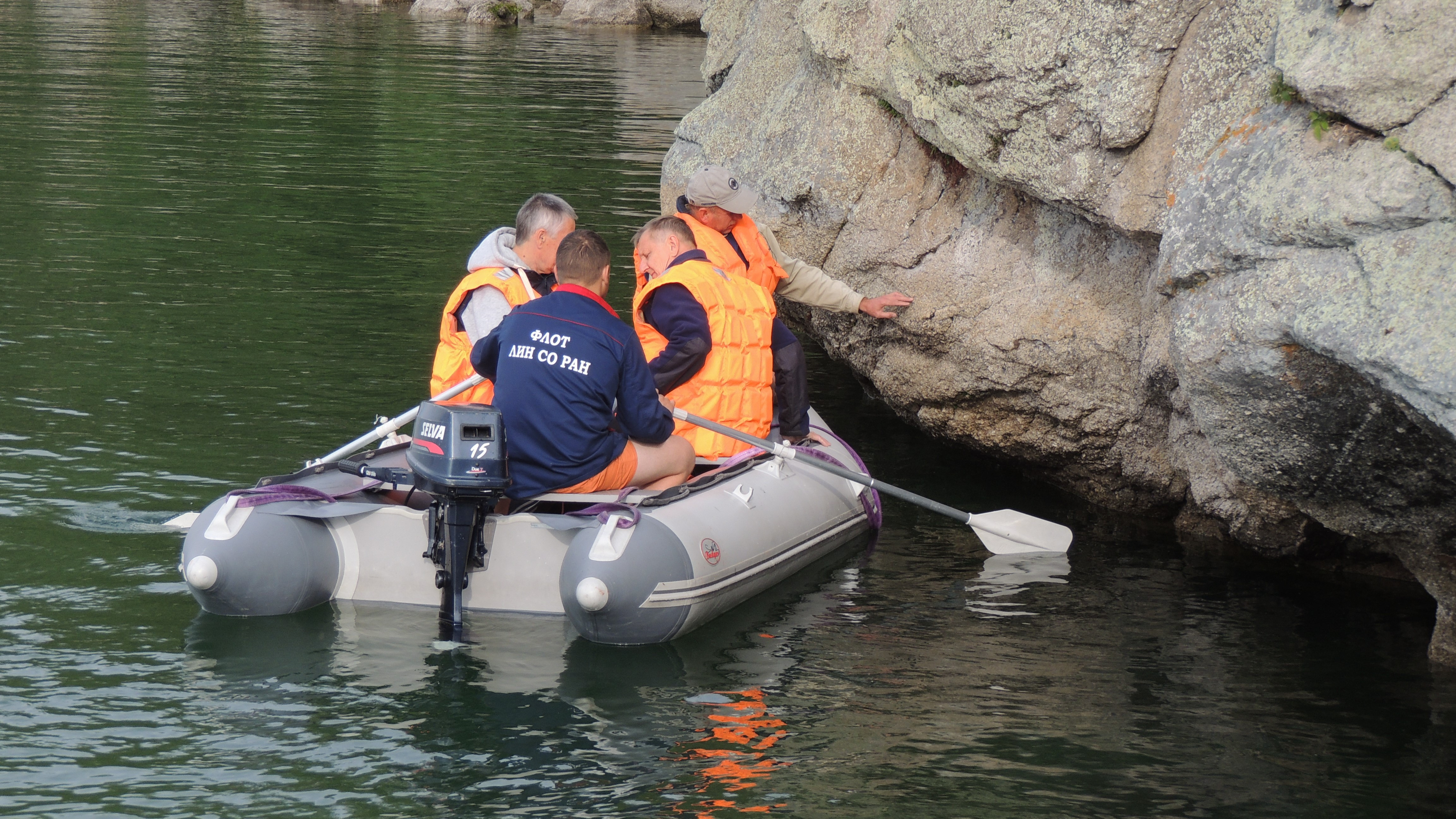
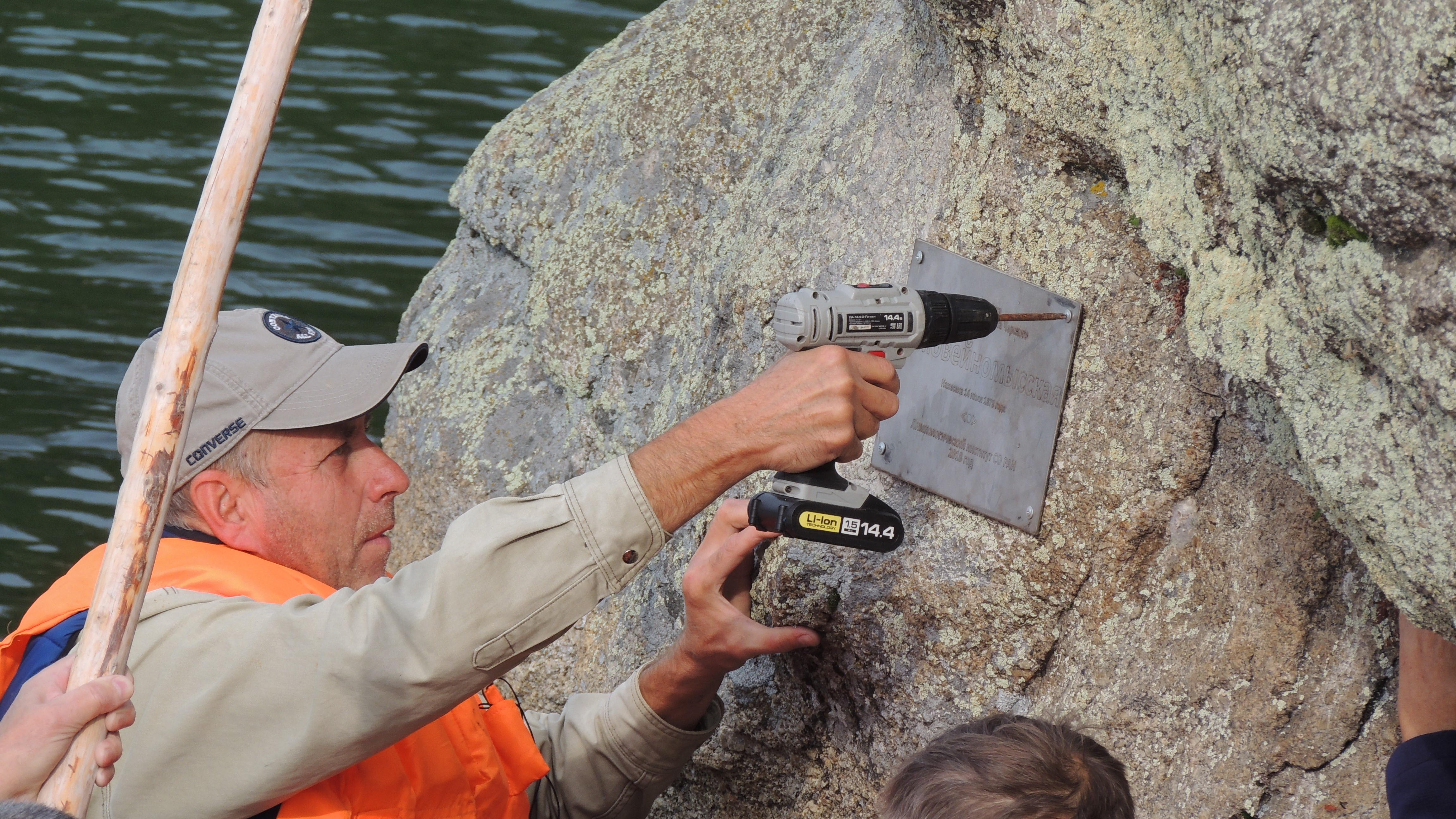
Within the framework of this expedition, for the first time since 1978 the marks have been investigated and added with original plates made of anticorrosive material. Their description, the determination of coordinates (latitude and longitude) and topographic binding have been performed. Further, the recommendations on their preservation for the future generations will be prepared.


