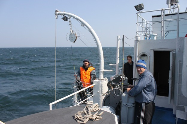
Hydrophysical expedition onboard RV “G.Yu. Vereshchagin”, July 26-August 07, 2019
The expedition within the framework of the programs “Assessment and Forecast of Ecological State of Lake Baikal and Adjacent Territories under Conditions of Anthropogenic Impact and Climate Change”, “Studies of Evolutionary, Ecological and Molecular-Biological Aspects of Silica-Dependent Chromista as Main Members of Silica Cycle in Aquatic Ecosystems” and “Ecological and Economic Assessment of the Functioning of Freshwater Biogeocenoses, Fundamental and Applied Aspects” were carried onboard RV “G.Yu. Vereshchagin”, July 26-August 07, 2019 throughout the Baikal water area.
The aim of the expedition was to assess natural and anthropogenic impacts on the change in the abiotic and biotic characteristics of the Baikal ecosystem, which determine its water quality.
During the expedition along the standard station grid of the longitudinal and transvers sections of the lake, the sampling was carried out at fixed horizons from the surface to the bottom using a Carousel SBE-32 sampler of cassette type equipped with 24 bathometers of 5 l each. Water was sampled for chemical analysis and study of the spatial distribution of dominant species of microalgae as well as the structure of bacterial communities and microscopic eukaryotes throughout the Baikal water area. Samples of phyto- and zooplankton were taken with the Juday net. The fieldworks were carried out in three basins of the lake as well as in Barguzin and Chivyrkuy bays, and the Maloye More Strait. Water was sampled from 45 stations; the Juday net was used at 32 stations. Hydrophysical measurements were performed at 77 stations using a SBE-25 high-precision CTD probe with additional sensors for dissolved oxygen, transparency and suspended matter concentration. In total, 360 samples were taken for methane, 32 samples of phytoplankton (net samples), 128 samples of phyto- and zooplankton (bathometer samples), and 221 samples for analysis of water chemistry.
With the course of the vessel, the temperature of water surface was recorded, and the seeps of gas bubbles were monitored using the soft hardware based on the Furuno sonar with the echogram data recording.
At the hydrometeorological station Ushakniy Cape, a hydrostatic pressure sensor to measure the lake level was installed and integrated into the system of the station.
In the area of the ring structure near Cape Nizhneye Izgolovie, the experiment was conducted with the Argos autonomous drifting buoys. The drift trajectories were obtained with the installation of underwater sails at a depth of 200 m.


